idfg-badge

Idaho Fish and Game

Upper Salmon River Conditions - Feb. 28, 2023

idfg-mdemick

Deadwater ice jam still persists, icy conditions 'Down River'

After a long winter, I bet many of us are suffering from cabin fever and are eager to go steelhead fishing. Late winter is a dynamic time on the upper Salmon River, with constantly changing river and weather conditions. This year is no exception, so hopefully, this river condition report will keep everyone informed about what to expect in the coming weeks.

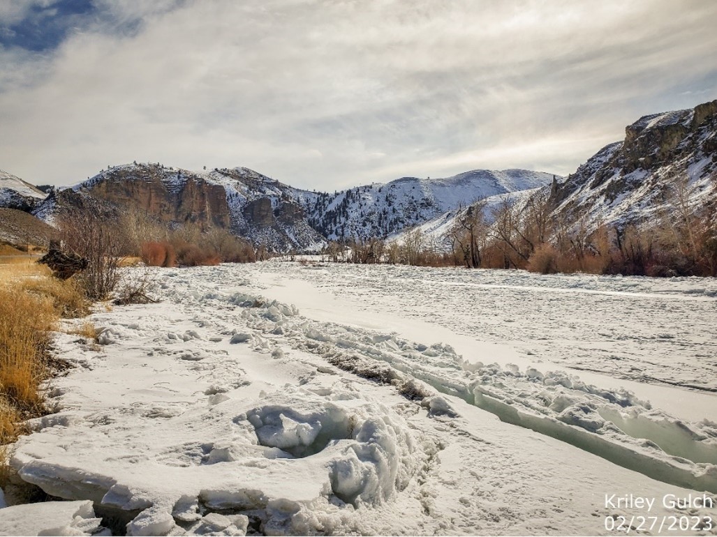
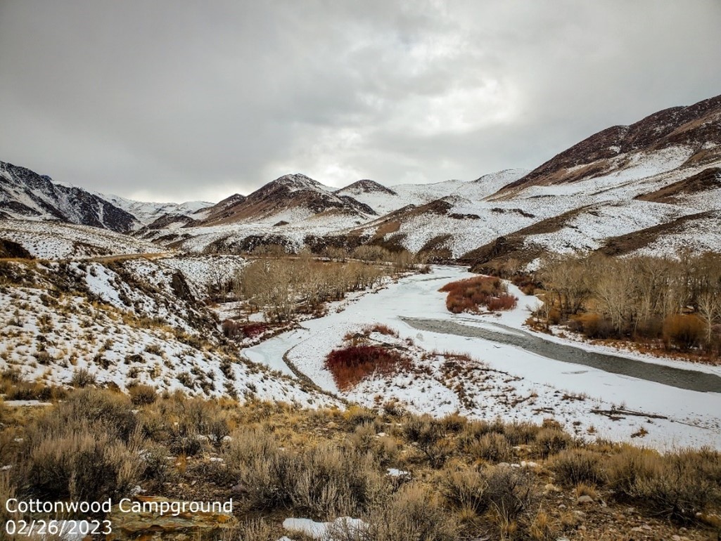
This time of year, we receive many calls from anglers inquiring about the status of the Deadwater ice jam. As of Monday, February 27, the ice jam remains in place and covers the river from Deadwater to the Tower Creek boat ramp. This winter, the ice jam reached its greatest extent just upstream of the Morgan Bar boat ramp, but it did not reach the Carmen Bridge. Due to the ice, all boat ramps between Deadwater and Morgan Bar are currently unusable. Fish and Game crews will clear our ramps (Red Rock, 4th of July, Bobcat, and North Fork) once the river opens to below North Fork, and the likelihood of the ice jam building back upstream is low. As in previous years, we will issue a separate report once the ice jam breaks up through Deadwater. 

Kriley Gulch, 2-27-2023
Kriley Gulch

Current river conditions downstream of Deadwater are generally favorable, although numerous stretches of the river are still frozen over. The majority of the open water is located between Panther Creek and the Middle Fork, but even in these areas, the shore ice is extensive. The snow level along the banks is low, with some areas already completely snow-free. However, the rain last week that helped melt the snow also produced a substantial amount of ice, making certain stretches of the river road very hazardous. The slickest areas during the past weekend were found between Spring Creek and Panther Creek (especially in the “narrows”), as well as the final half-mile of the road before reaching the Corn Creek ramp. Based on this week’s forecast, the icy conditions may persist, so please exercise caution if driving through these areas.

Corn Creek

Additionally, there’s a new development to watch out for this year in the narrows between Pine Creek and Panther Creek: the south slope was burned over during last summer’s Moose Fire (circled in the picture below). Even following mild winters, this area is known for being unstable in February and March due to snowslides and rockfall. The burn scar, combined with the freeze/thaw cycle, is expected to cause even more debris to come down onto the road. Anglers are advised to take this extra hazard into account when driving and deciding where to park.

Moose Fire
Moose Fire map

River conditions upstream of Salmon are average for this time of year. From Salmon to the Pahsimeroi River confluence, the river is mostly open with some shore ice, and the boat ramps in this stretch are usable. However, winter conditions remain upstream of Challis, and many areas are inaccessible due to snow and ice.

Cottonwood Campground, upper Salmon River
Cottonwood Campround

We expect angler effort to start increasing this week and with that, we will begin to issue our weekly steelhead fishing reports. These reports will be posted at the beginning of each week through the end of April, and will include the average catch and harvest rates, as well as any changes in river conditions. Anglers who wish to read these reports can find them on the steelhead fishing page of Fish and Game’s website.