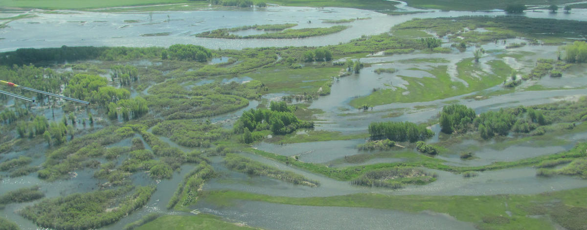
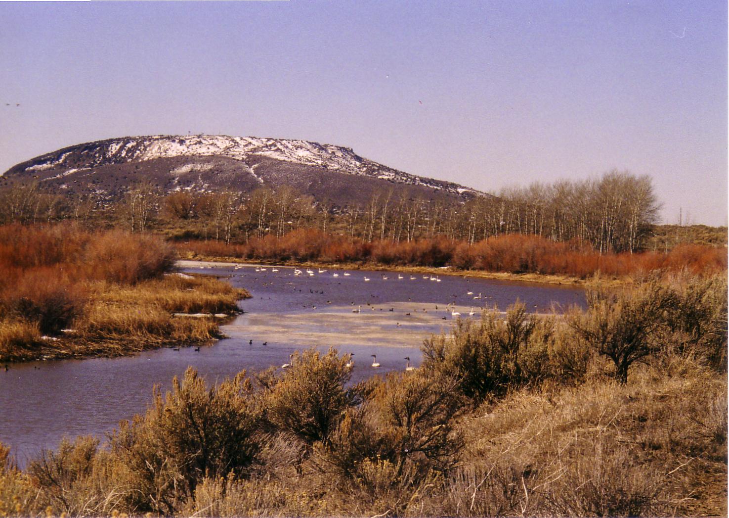
Cartier Slough WMA was Idaho’s first waterfowl mitigation project. It was established as mitigation for wetland and waterfowl losses from the construction of Ririe and Teton dams. It is located on the west side of the Henrys Fork of the Snake River five miles west of Rexburg, Idaho.
The area is a large wetland complex with very little water control. Water levels depend on the level of the Henrys Fork. Historically the Cartier Slough floods an average of once every three years, inundating most of the area for weeks at a time.
Cartier Slough is an important component to the larger Mud Lake and Market Lake WMA waterbird breeding complex. Its primary role in the larger landscape may be as foraging and transitional habitat.
Most people who visit the 1,026-acre expanse of wetlands, sagebrush and sloughs, walk in from a trail that starts at Madison County's Beaver Dick Park. Visitors will find a boat launch, picnic tables, toilets and trailhead at the park.


