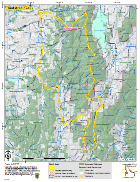
We're happy to announce that we've added new improved PDF Maps to the Huntplanner! The maps have been redesigned to be easier to read and use in the field.
Highlights:
- Hunt and National Forest boundaries clearly marked
- Prominent physical features and towns noted
- Improved streams symbols and shaded relief to assist with navigation.
- Public and private land management are clearly defined
- Customized rendering for improved readability and various scales
- Designed for regular and colorblind hunters
You can view and download the new maps on details page for each hunt or directly from the map index.
Here's a preview of the new design. Thanks for all the hard work Angie!

