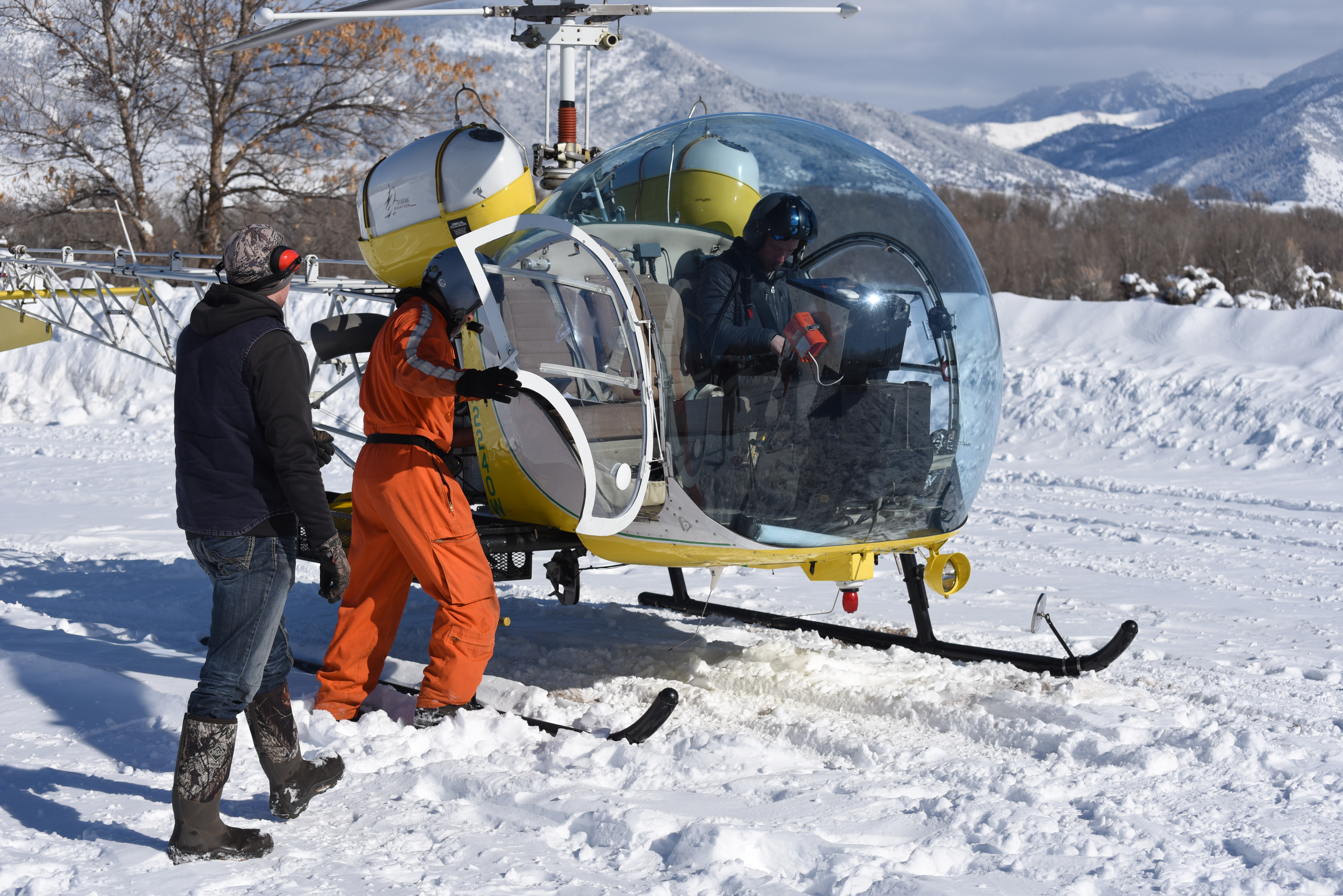
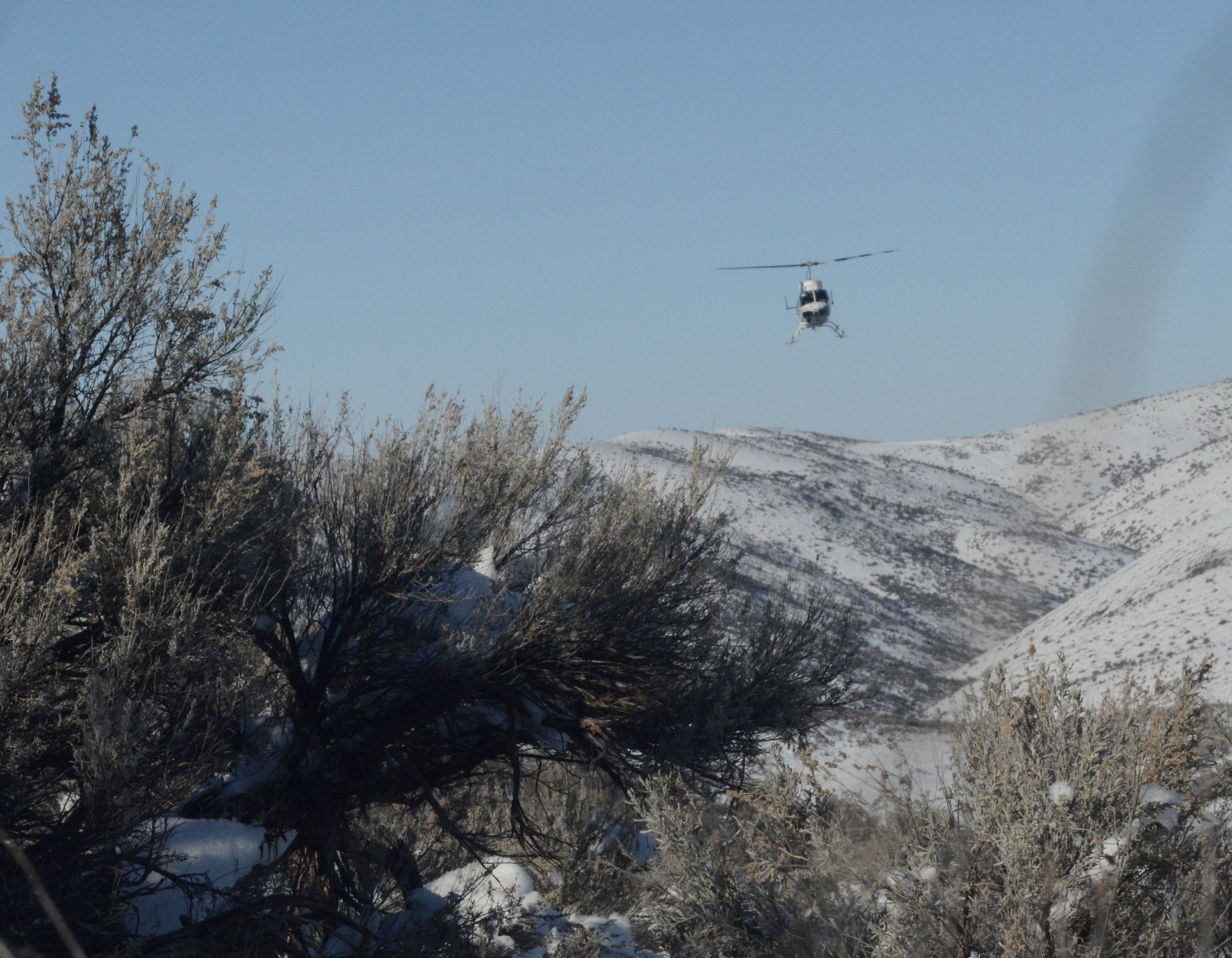
This year mule deer herd composition surveys will be conducted along the Bennett front and Thorn Creek Reservoir and Picabo Hills areas, as well as in the Black Pine and Jim Sage mountains and the South Hills beginning around December 10 and continuing for approximately three days.
Abundance surveys
In early January 2024 Fish and Game biologists will be conducting a mule deer abundance survey in the area north of the Snake River. During this multi-week survey, two helicopters will be used because of the extensive area encompassed by this survey.
An abundance survey counts deer within a specific DAU by flying a grid across winter ranges within the mule deer DAU. Typically, these surveys are flown in a helicopter every 4-5 years.
A typical abundance survey may take several weeks to complete and are usually flown between mid-January and early March to ensure deer are concentrated on low elevation winter ranges.
Not all deer are observed during an aerial abundance survey. There are a number of reasons why. Thick vegetation can conceal animals from observation and the lack of snow cover can make deer more difficult to detect. In addition, animals on the move or in large groups are much easier to observe than small groups of bedded animals. Because of this, Fish and Game has developed a “sightability model” which corrects the count to include animals not observed during survey.
As an example, a survey might physically count 10,000 deer on a winter range, but the sightability model will correct the estimate for those deer not seen. The model could “correct” the population estimate by 10-20%, depending on the conditions (snow cover and vegetation) and animal behavior (group sizes and activity) at the time of the survey.
Many western states have now adopted Idaho’s survey protocols and sightability models to estimate their own big game populations.
Big game capture
Finally, in late December and early January helicopter operations will also be used to place radio collars on mule deer fawns in the South Hills, Bennett front and Picabo Hills area and elk calves along the Bennett front. Capture operations will use both drive nets and net gunning to capture fawns and net gunning to capture elk calves. The information gained from these projects will be used to estimate the health and survival of mule deer fawns and elk calves and document seasonal movements.