idfg-badge

Idaho Fish and Game

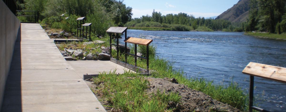
Tower Rock Access disability ramp September 2010

Access - Large Tracts Travel Restrictions

Large Tracts Motorized Restriction Maps

Large Tracts properties are private lands entered into agreements to ensure access for hunting and fishing. To keep them open and accessible to everyone requires that all users be respectful of issues and adhere to the landowner’s needs and conditions to enter their lands.

Maps on Demand

Follow the steps below to create a map of current large tracts areas and open-road access:

  1. Enter an address or place name into the search bar or navigate the map to the area you want to print (ie. click and zoom, touch gestures or on-screen controls). 
  2. (Optional) Use the Layer tool  (ESRI Layer) to toggle individual layer visibility.
  3. Use the Print tool (ESRI Print) to provide a name to your map. You may open the 'Advanced' options to change geographic and print quality settings.
  4. Click "Print" when you are ready to print.
  5. Select the given map title from the output list in the Print toolbox once processing is complete.
  6. Print or save the map directly from the browser. You may need to allow pop-ups.
View How-To Video


This mapping application depicts private land where motorized use is limited to designated routes. Motorized travel off designated routes is illegal. I.C. § 36-126. The landowners and the Idaho Department of Fish and Game manage access to this area through a partnership. For more information and current conditions see the Hunting and Fishing Access page.