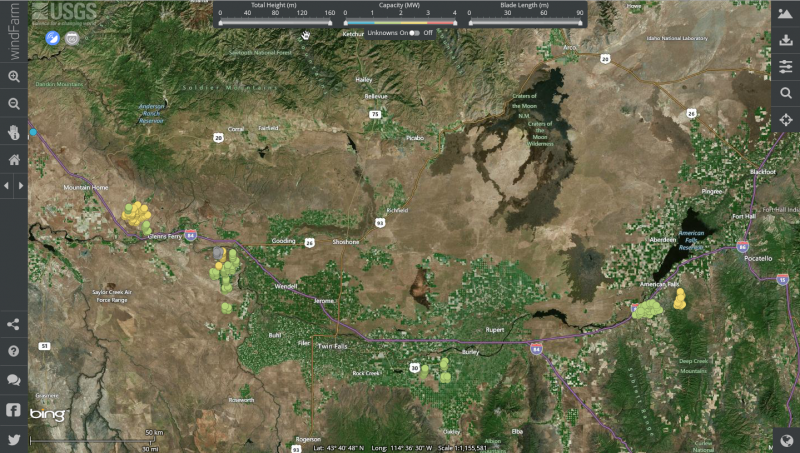
From the USGS website: "To remedy the lack of information, the USGS created this publicly available national dataset and interactive mapping application of wind turbines. This dataset is built with publicly available data, as well as searching for and identifying individual wind turbines using satellite imagery. The locations of all wind turbines, including the publicly available datasets, were visually verified with high-resolution remote imagery to within plus or minus 10 meters."
Screenshot of southern Idaho in the windFarm application:
For more information: http://www.usgs.gov/blogs/features/usgs_top_story/mapping-the-nations-wind-turbines/
windFarm Application: http://eerscmap.usgs.gov/windfarm/