Idaho Hunt Planner We got game.
Upper Snake Region
Region 6
GMU(s) in Upper Snake Region :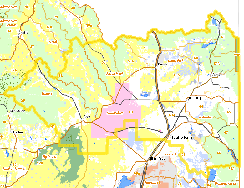
Hunting Opportunities in Upper Snake Region
Public Access
Land Ownership
| U.S. Forest Service (USFS) |  31.24
%
31.24
%
|
| Private |
31.05
%
|
| U.S. Bureau of Land Management (BLM) |
22.53
%
|
| U.S. Department of Energy (DOE) |
6.72
%
|
| State of Idaho |
5.07
%
|
| U.S. National Park Service (NPS) |
2.11
%
|
| Other |
0.6
%
|
| U.S. Bureau of Reclamation (BOR) |
0.54
%
|
| U.S. Corps of Engineers (COE) |
0.08
%
|
| U.S. National Wildlife Refuge (NWR) |
0.03
%
|
| U.S. Military |
0.01
%
|
| Indian Reservation / Bureau of Indian Affairs |
0
%
|
Access Yes! Properties
National Forests
Federally-designated Wilderness Areas
There are no wilderness areas in Upper Snake Region.
Land Use/Cover
| Rangeland |
49.24
%
|
| Forest |
23.74
%
|
| Irrigated-Sprinkler |
8.98
%
|
| Irrigated-Gravity Flow |
7.02
%
|
| Dryland Agriculture |
6.45
%
|
| Rock |
2.21
%
|
| Riparian |
1.66
%
|
| Water |
0.43
%
|
| Urban |
0.24
%
|
Services
Lodging, Camping & Services in Upper Snake Region
- Idaho Falls - Interstate 15 US 20 US 26
- Rexburg - US 20 Idaho 33
- St. Anthony - US 20
- Rigby - US 20 Idaho 48
- Driggs / Tetonia / Victor - Idaho 33
- Ashton - US 20 Idaho 32 Idaho 47
- Arco - US 20-26 US 93
- Dubois - Interstate 15 Idaho 22
- Mackay - US 93
- Ririe - US 26
- Mud Lake - Idaho 33
- Swan Valley - US 26 Idaho 31
- Island Park - US 20
- Spencer - Interstate 15
* Services pages courtesy of the Official Idaho Travel and Tourism Guide