Idaho Hunt Planner We got game.
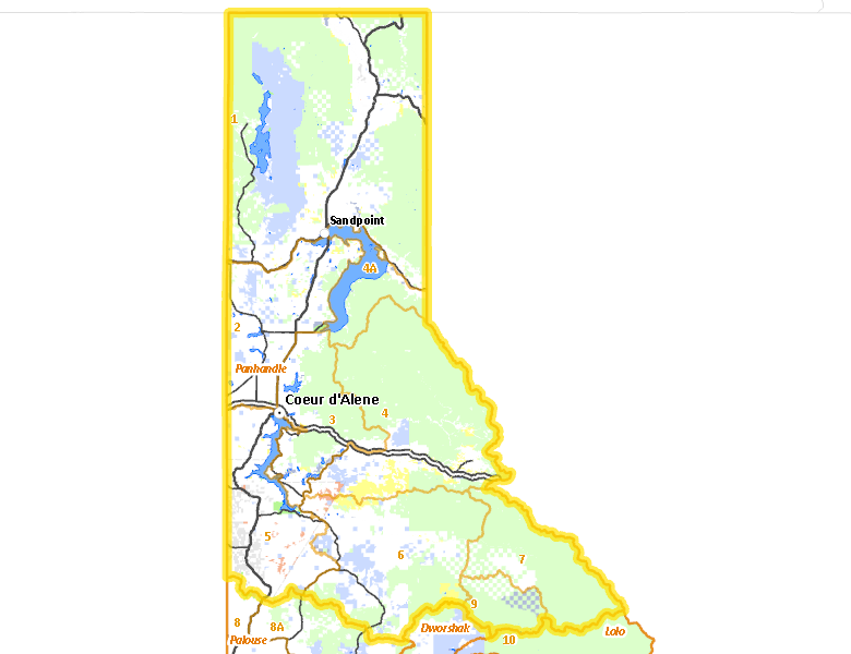
Panhandle Zone
Units 1, 2, 3, 4, 4A, 5, 6, 7, 9
More information about GMU(s) in Panhandle Zone :
Public Access
Land Ownership
| U.S. Forest Service (USFS) |  47.74
%
47.74
%
|
| Private |
36.93
%
|
| State of Idaho |
8.71
%
|
| Other |
3.36
%
|
| U.S. Bureau of Land Management (BLM) |
1.92
%
|
| Indian Reservation / Bureau of Indian Affairs |
1.31
%
|
Make your own map of Panhandle Zone
Ownership data source: Inside Idaho
Access Yes! Properties
National Forests
- Clearwater National Forest
- Coeur d'Alene National Forest
- Kaniksu National Forest
- Kootenai National Forest
- St. Joe National Forest
Federally-designated Wilderness Areas
There are no wilderness areas in Panhandle Zone.
Land Use/Cover
| Forest |
75.84
%
|
| Dryland Agriculture |
14.95
%
|
| Rangeland |
4.51
%
|
| Water |
3.04
%
|
| Urban |
0.85
%
|
| Riparian |
0.78
%
|
Make your own map of Panhandle Zone
Land Use data source: IDWR
Services
Lodging, Camping & Services in Panhandle Zone
- Coeur d'Alene, US 95 Interstate 90
- Post Falls, Interstate 90
- Sandpoint, US 95 US 2 Idaho 200
- Rathdrum, Idaho 53
- Bonners Ferry, US 95
- St. Maries, Idaho 3
- Cataldo, Interstate 90
- Kellogg, Interstate 90
- Murray / Prichard, Interstate 90
- Priest River, Idaho 57 US 2
- Spirit Lake, Idaho 41
- Plummer, US 95
- Wallace, Interstate 90
- Athol, US 95 Interstate 90
- Hope / Clark Fork, Idaho 200
- Priest Lake, Idaho 57
- Harrison, Idaho 97
- Worley, US 95
- Bayview, US 95
- Blanchard, Idaho 41
* Services pages courtesy of the Official Idaho Travel and Tourism Guide