Idaho Hunt Planner We got game.
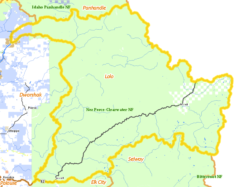
Lolo Zone
Units 10, 12
More information about GMU(s) in Lolo Zone :
Public Access
Land Ownership
| U.S. Forest Service (USFS) |  96.07
%
96.07
%
|
| Private |
2.83
%
|
| State of Idaho |
0.75
%
|
| U.S. Corps of Engineers (COE) |
0.16
%
|
| Other |
0.15
%
|
Make your own map of Lolo Zone
Ownership data source: Inside Idaho
Access Yes! Properties
No properties are currently available in Lolo Zone.
View all Access Yes Participants.
National Forests
Federally-designated Wilderness Areas
-
Selway Bitterroot Wilderness
237,200 acres (15.62% of hunt area)
Land Use/Cover
| Forest |
78.71
%
|
| Rangeland |
21.19
%
|
| Water |
0.06
%
|
Make your own map of Lolo Zone
Land Use data source: IDWR
Services
Lodging, Camping & Services in Lolo Zone
- Lowell, US 12
* Services pages courtesy of the Official Idaho Travel and Tourism Guide