Idaho Hunt Planner We got game.
Hunt Area
Private land only in That portion of Unit 14 within the following boundary: Beginning on the Unit 14 western boundary at John Day Creek, then east along the main fork of John Day Creek to the National Forest boundary, then north along the National Forest boundary to the junction of the Banner Ridge Road and Free Use Road (243), then west down the 243 road (Free Use Road) to Bull Run Cove Road, then follow the private property line to South Fork of White Bird Creek, then down White Bird Creek to the Salmon River, then south along Unit 14 boundary to the point of beginning at John Day Creek.
More information about the Game Management Unit(s) in this area: 14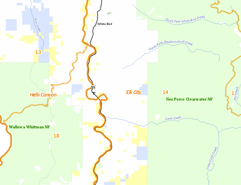
Surface Management
For government land, these data show the managing agency of the land, which may or not be the same as the owning agency.
 Private 88.05%
|
|
U.S. Bureau of Land Management (BLM) 7.17%
|
|
State of Idaho 3.13%
|
|
Other 1.6%
|
|
U.S. Forest Service (USFS) 0.05%
|
|
U.S. National Park Service (NPS) 0%
|
Make your own map of Hunt Area
Ownership data source: Inside Idaho
Access Yes! Properties
Access Yes! is Fish and Game program designed to improve hunting and fishing access to private land or through private land to public land by compensating willing landowners who provide access.
No properties are currently available in .
View all Access Yes Participants.
Forest Service Land
Check for road and area closures on National Forest websites
Federally-designated Wilderness Areas
No motorized vehicles are allowed in these areas.
There are no wilderness areas in .
Land Use/Land Cover
No landcover for this area is available at this time.
Towns in this Hunt Area
- White Bird, US 95