Idaho Hunt Planner We got game.
Hunt Area
Unit 37. EXCEPTION: Short range weapons only on Pahsimeroi Access Area.
More information about the Game Management Unit(s) in this area: 37 37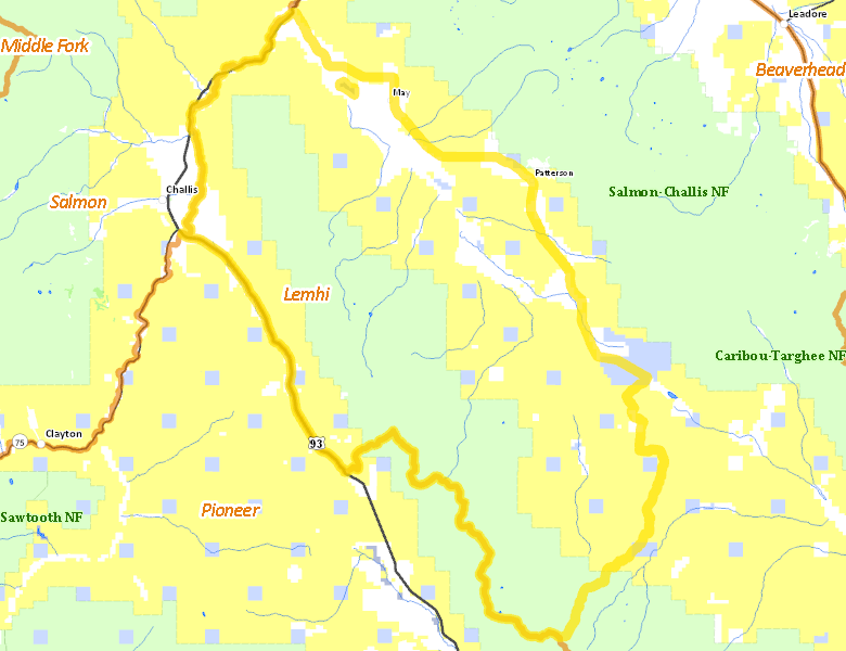
Recent Hunts in this Area
| Year | Tag | Open | Close | Take Method | Game | Area |
|---|---|---|---|---|---|---|
| 2026 | White-tailed Deer Tag | 10/10/2026 | 10/31/26 | Any Weapon | White-tailed Deer | Unit 37 |
| 2025 | White-tailed Deer Tag | 10/10/2025 | 10/31/25 | Any Weapon | White-tailed Deer | Unit 37 |
| 2024 | White-tailed Deer Tag | 10/10/2024 | 10/31/24 | Any Weapon | White-tailed Deer | Unit 37 |
Surface Management
For government land, these data show the managing agency of the land, which may or not be the same as the owning agency.
 U.S. Bureau of Land Management (BLM) 110910.2%
|
|
U.S. Forest Service (USFS) 85301.38%
|
|
Private 21519.72%
|
|
State of Idaho 6983.19%
|
|
Other 214.41%
|
Make your own map of Hunt Area
Ownership data source: Inside Idaho
Access Yes! Properties
Access Yes! is Fish and Game program designed to improve hunting and fishing access to private land or through private land to public land by compensating willing landowners who provide access.
No properties are currently available in .
View all Access Yes Participants.
Forest Service Land
Check for road and area closures on National Forest websites
Federally-designated Wilderness Areas
No motorized vehicles are allowed in these areas.
There are no wilderness areas in .
Land Use/Land Cover
No landcover for this area is available at this time.
Towns in this Hunt Area
No services are available inside .
Services courtesy of the Official Idaho Travel and Tourism Guide