Idaho Hunt Planner We got game.
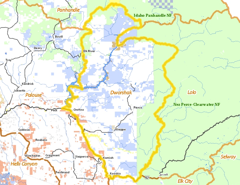
Dworshak Zone
Unit 10A
More information about GMU(s) in Dworshak Zone :
Public Access
Land Ownership
| Private |  49.14
%
49.14
%
|
| U.S. Forest Service (USFS) |
23.54
%
|
| State of Idaho |
23.46
%
|
| U.S. Corps of Engineers (COE) |
1.45
%
|
| U.S. Bureau of Land Management (BLM) |
1.05
%
|
| Indian Reservation / Bureau of Indian Affairs |
0.97
%
|
| Other |
0.4
%
|
| U.S. National Park Service (NPS) |
0
%
|
Make your own map of Dworshak Zone
Ownership data source: Inside Idaho
Access Yes! Properties
No properties are currently available in Dworshak Zone.
View all Access Yes Participants.
National Forests
Federally-designated Wilderness Areas
There are no wilderness areas in Dworshak Zone.
Land Use/Cover
| Forest |
85.58
%
|
| Dryland Agriculture |
12.88
%
|
| Water |
1.19
%
|
| Rangeland |
0.35
%
|
Make your own map of Dworshak Zone
Land Use data source: IDWR