Idaho Hunt Planner We got game.
Unit 18
- Region 2
- Clearwater Region
- Hells Canyon Elk Zone
- Units 11, 13, 18
Game Management Unit Boundary
Those portions of IDAHO and ADAMS COUNTIES within the following boundary: beginning at Riggins, up the Little Salmon River to Rapid River, then up Rapid River to and including the Shingle Creek drainage to the Snake River divide, then south along the divide to Purgatory Saddle at the head of Granite Creek, then down Granite Creek to the Snake River, then downstream to Pittsburg Landing, then east on the Pittsburg Landing-White Bird Road to the Salmon River, then upstream to Riggins, the point of beginning.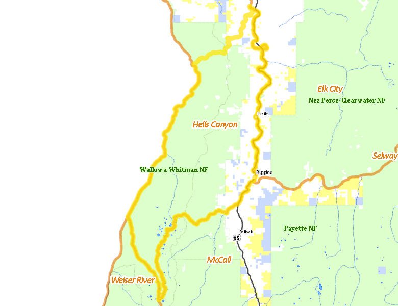
Public Access
Surface Management
For government land, these data show the managing agency of the land, which may or not be the same as the owning agency.
| U.S. Forest Service (USFS) |  75.98
%
75.98
%
|
| Private |
20.05
%
|
| U.S. Bureau of Land Management (BLM) |
1.99
%
|
| State of Idaho |
1.15
%
|
| Other |
0.52
%
|
Make your own map of Unit 18
Ownership data source: Inside Idaho
Access Yes! Properties
No properties are currently available in Unit 18.
View all Access Yes Participants.
National Forests
Federally-designated Wilderness Areas
No motorized vehicles are allowed in these areas.
-
Hells Canyon Wilderness
56,535 acres (31.27% of hunt area)
Land Use/Cover
| Forest |
71.32
%
|
| Rangeland |
28.07
%
|
| Dryland Agriculture |
0.38
%
|
| Irrigated-Sprinkler |
0.15
%
|
Make your own map of Unit 18
Land Use data source: IDWR