Idaho Hunt Planner We got game.
Hunt Area
That portion of Unit 51 outside the National Forest System Boundary on or within one mile of private irrigated agricultural lands. “Private irrigated agricultural lands” are defined as private irrigated lands that are used for growing or storing plants for profit, in the form of pasture or stored feed for animal production, croplands, nurseries, vineyards, or orchards, but which do not include private timberlands. The National Forest System Boundary is a legislatively set boundary — it is not necessarily the boundary of Forest Service property. State, private and other lands within the National Forest System Boundary are not open to hunting during this season. (Please refer to a U.S. Forest Service map for the location of this boundary.)
More information about the Game Management Unit(s) in this area: 51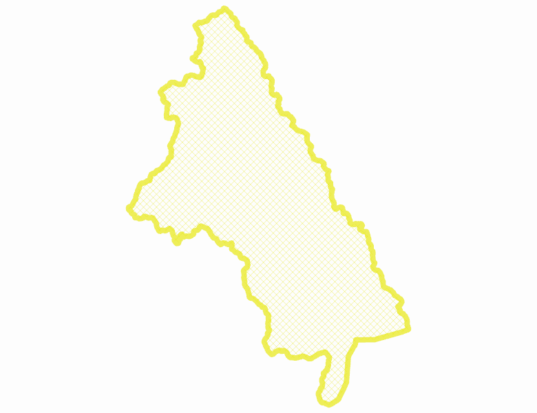
Recent Hunts in this Area
| Year | Tag | Open | Close | Take Method | Game | Area |
|---|---|---|---|---|---|---|
| 2026 | Elk Controlled Hunt 2114 | 8/1/2026 | 8/29/26 | Any Weapon | Elk | Area 51-1 |
| 2025 | Elk Controlled Hunt 2114 | 8/1/2025 | 8/29/25 | Any Weapon | Elk | Area 51-1 |
Surface Management
For government land, these data show the managing agency of the land, which may or not be the same as the owning agency.
No landownership for this area is available at this time.
Access Yes! Properties
Access Yes! is Fish and Game program designed to improve hunting and fishing access to private land or through private land to public land by compensating willing landowners who provide access.
No properties are currently available in .
View all Access Yes Participants.
Forest Service Land
Check for road and area closures on National Forest websites
No National Forest lands fall within .
Federally-designated Wilderness Areas
No motorized vehicles are allowed in these areas.
There are no wilderness areas in .
Land Use/Land Cover
No landcover for this area is available at this time.
Towns in this Hunt Area
No services are available inside .
Services courtesy of the Official Idaho Travel and Tourism Guide