Idaho Hunt Planner We got game.
Hunt Area
That portion of Unit 74 within Franklin County, and that portion of Unit 74 within the following boundary: Beginning at the intersection of State Highway 91 and Red Rock Road, east on Red Rock Road to Swan Lake Road, then north on Swan Lake Road to Cottonwood Road, then north on Cottonwood Road to Johnson Road, then south on Johnson Road to the Franklin County boundary, then south and west along the Franklin County boundary to Highway 91, then west and north on Highway 91 to the starting point.
More information about the Game Management Unit(s) in this area: 74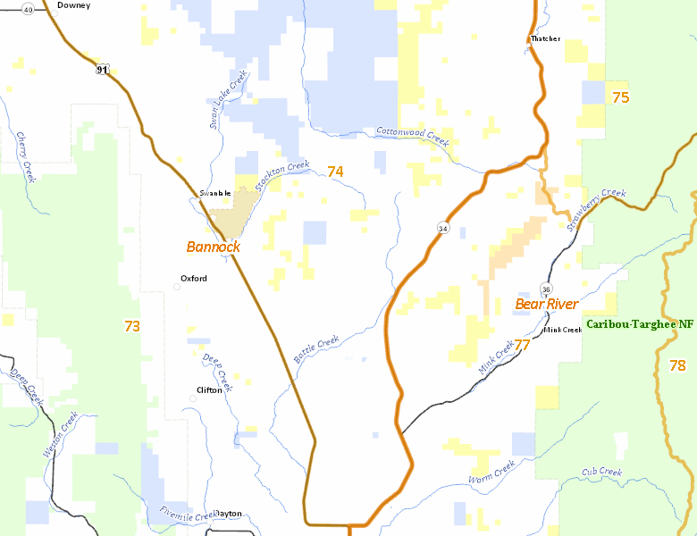
Surface Management
For government land, these data show the managing agency of the land, which may or not be the same as the owning agency.
 Private 81.44%
|
|
State of Idaho 11.87%
|
|
U.S. Bureau of Land Management (BLM) 6.68%
|
|
Other 0%
|
Make your own map of Hunt Area
Ownership data source: Inside Idaho
Access Yes! Properties
Access Yes! is Fish and Game program designed to improve hunting and fishing access to private land or through private land to public land by compensating willing landowners who provide access.
No properties are currently available in .
View all Access Yes Participants.
Forest Service Land
Check for road and area closures on National Forest websites
No National Forest lands fall within .
Federally-designated Wilderness Areas
No motorized vehicles are allowed in these areas.
There are no wilderness areas in .
Land Use/Land Cover
No landcover for this area is available at this time.
Towns in this Hunt Area
No services are available inside .
Services courtesy of the Official Idaho Travel and Tourism Guide