Idaho Hunt Planner We got game.
Hunt Area
That portion of Unit 56 on or within one mile of private agricultural lands. "Private agricultural lands" are defined as private lands dedicated to growing or storing plants for profit, either currently or in the most recent growing or grazing season, in the form of pasture or stored feed for animal production, croplands, nurseries, vineyards or orchards, but which do not include private timberlands.
More information about the Game Management Unit(s) in this area: 56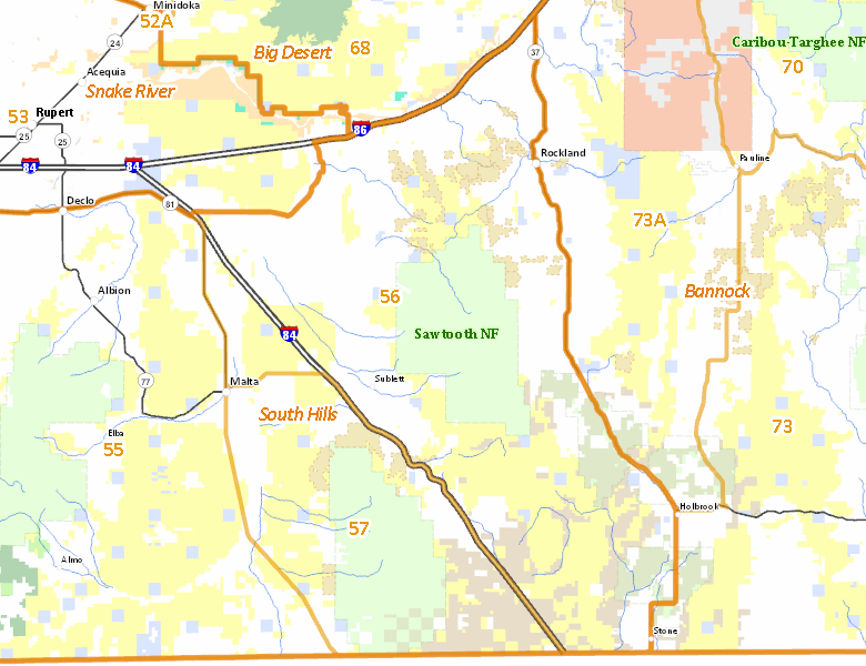
Surface Management
For government land, these data show the managing agency of the land, which may or not be the same as the owning agency.
 Private 51.21%
|
|
U.S. Bureau of Land Management (BLM) 23.85%
|
|
U.S. Forest Service (USFS) 13.61%
|
|
U.S. Department of Interior (DOI) 5.95%
|
|
U.S. Department of Agriculture (USDA) 4.06%
|
|
State of Idaho 1.31%
|
|
U.S. Bureau of Reclamation (BOR) 0.02%
|
Make your own map of Hunt Area
Ownership data source: Inside Idaho
Access Yes! Properties
Access Yes! is Fish and Game program designed to improve hunting and fishing access to private land or through private land to public land by compensating willing landowners who provide access.
No properties are currently available in .
View all Access Yes Participants.
Forest Service Land
Check for road and area closures on National Forest websites
Federally-designated Wilderness Areas
No motorized vehicles are allowed in these areas.
There are no wilderness areas in .
Land Use/Land Cover
No landcover for this area is available at this time.
Towns in this Hunt Area
No services are available inside .
Services courtesy of the Official Idaho Travel and Tourism Guide