Idaho Hunt Planner We got game.
Hunt Area
That portion of Unit 41 starting at the junction of Hwy 51 and the Rowland Rt Road (signed as Roland Rd) then following the Rowland Rt Road south until the intersection with Sheep Creek, following Sheep Creek north and east until the confluence wit the Bruneau River, then following the Bruneau River south to the Nevada state line, then west along the Idaho-Nevada state line to Highway 51 and north along Highway 51 to the beginning; excluding the Duck Valley Indian Reservation.
More information about the Game Management Unit(s) in this area: 41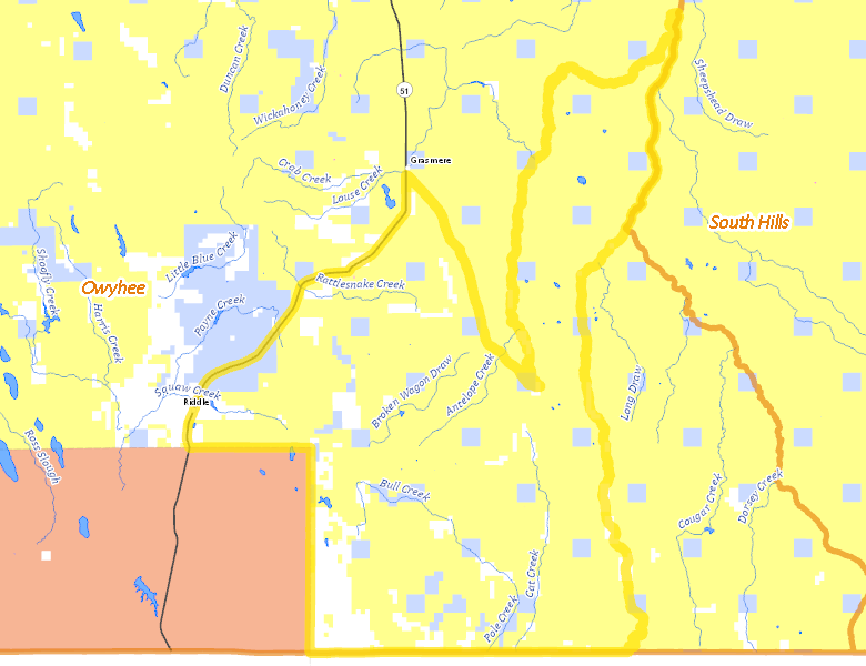
Surface Management
For government land, these data show the managing agency of the land, which may or not be the same as the owning agency.
 U.S. Bureau of Land Management (BLM) 82.45%
|
|
Private 9.99%
|
|
State of Idaho 7.52%
|
|
Indian Reservation / Bureau of Indian Affairs 0.02%
|
|
U.S. Military 0%
|
Make your own map of Hunt Area
Ownership data source: Inside Idaho
Access Yes! Properties
Access Yes! is Fish and Game program designed to improve hunting and fishing access to private land or through private land to public land by compensating willing landowners who provide access.
No properties are currently available in .
View all Access Yes Participants.
Forest Service Land
Check for road and area closures on National Forest websites
No National Forest lands fall within .
Federally-designated Wilderness Areas
No motorized vehicles are allowed in these areas.
- Bruneau-Jarbridge Rivers Wilderness 21,155 acres (7.61% of hunt area)
Land Use/Land Cover
No landcover for this area is available at this time.
Towns in this Hunt Area
No services are available inside .
Services courtesy of the Official Idaho Travel and Tourism Guide