Species Information
Observation Method(s):
Individual(s) Observed (seen)
Observed Individual(s) in Hand or Close Range
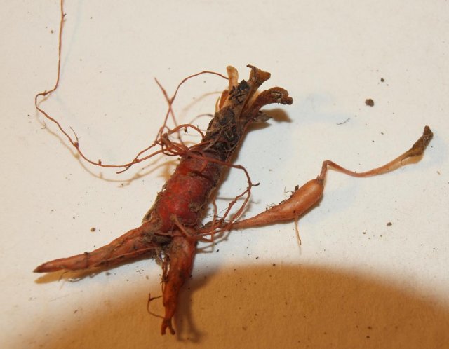
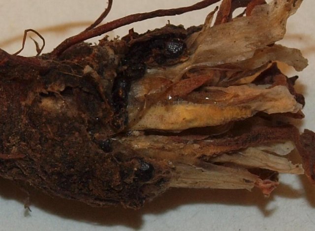
Sample Collected
Museum or Herbarium Specimen
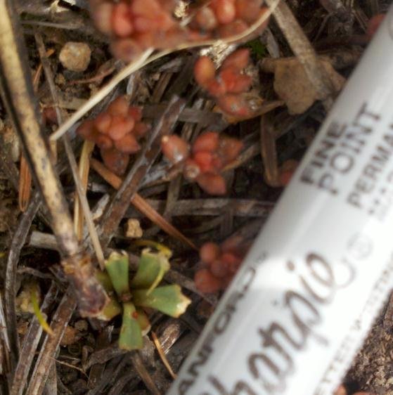
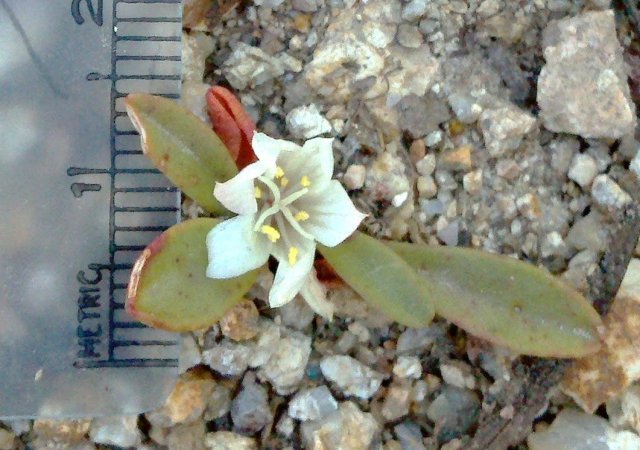
Photographed
Certainty of Identification:
100
Herbarium:
Snake River Plains Herbarium, Boise State University [SRP]
Collector/Collection Number:
Carol A. M. Prentice # various
When
Date Time:
Wednesday, June 22, 2011 (All day) to Monday, July 4, 2011 (All day)
Date/Time Precision:
±86 400 seconds
Survey
Survey Site:
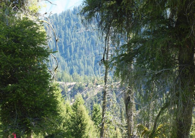
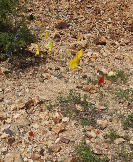
South of the upper reaches of Grimes Creek and north of of Jackson Peak
Survey Intensity:
very thorough
Population
EO Number:
34
EO ID:
26658
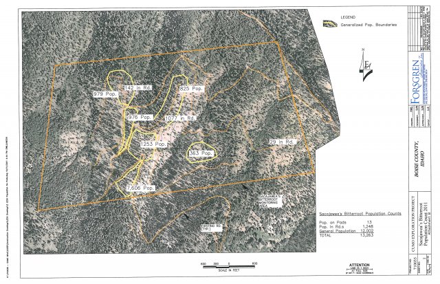
Population Area:
25 acres
More potential habitat to survey:
yes
Suggestions for other areas to survey:
Suitable bare ridges lie to the east of the study area and bare side hills were too steep to survey.
Monitoring or research needs for this population:
Permanent transects established in the study area should be revisited to document the autecology of LESA.
Investigate preferences for LESA invading disturbed areas.
Conduct studies on how this species distributes seeds and seed bank research needs.
Research whether this species requires copper or molybdenum for growth and development.
Investigate preferences for LESA invading disturbed areas.
Conduct studies on how this species distributes seeds and seed bank research needs.
Research whether this species requires copper or molybdenum for growth and development.
Management needs for this population:
Closely monitor Rush Skeletonweed and other invasive in this area.
Additional population comments:
Population first discovered in 2005, further surveys in 2006 (by FS). Additional survey conducted by contractor in 2007. Document populations at other sites to determine appropriate the management needs for this population.
About
Is this part of a larger study or report?:
Sacajawea’s Bitterroot survey for Mosquito Consolidated Gold Mines, CUMO Minerals exploration Project, Idaho City Ranger District, Boise National Forest
Where
Location Precision:
±1 000 meters
Mapped full extent:
no
Region:
County:
Game Management Unit:
Location:
Decimal Degrees: 44.0,-115.7
How
Who
SA code (IDFG Reference Code):
Verification Status:
Trusted

