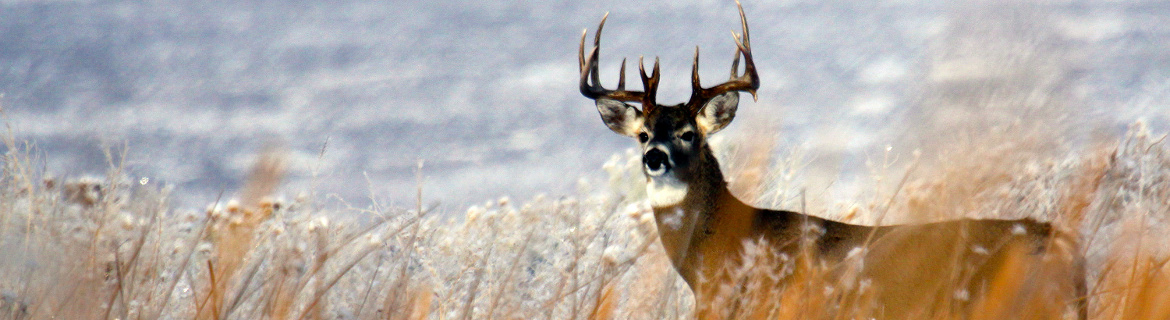
We create applications for hunters to learn about Idaho's game animals and hunting opportunities.

Idaho Hunt Planner
The Idaho Hunt Planner is an interactive search and mapping engine for Idaho Hunting Regulations. Find hunts by species, weapon, location and more.
Tick off your preferences and quickly filter hunts to your preferences.
Answer four questions and the wizard will guide you to a hunt.
Use the Map Center to zoom around Idaho. View hunt areas, game distribution, land ownership and more.
Hunting Regulations
By the Numbers
Harvest Statistics
Query and download past harvest statistics to find the hunt with the right opportunity for you.
Drawing Odds
Controlled Hunt Drawing Odds are available for over 15 years for some species. Many hunters use these odds with harvest statistics to plan their controlled hunt application.
Where to Hunt

Access Yes! Guide
Access Yes! is a program designed to improve sportsmen's access to private land or through private land to public land by compensating willing landowners who provide access.

Wildlife Management Areas
Learn about IDFG's 32 Wildlife Management Areas, which provide wildlife habitat and are available for hunting, fishing and other public enjoyment of wildlife.

Idaho Fire Map
View Hunt Area boundaries overlaid on real-time wildfire detections and fire emergency closures. This application is optimized for mobile viewing.

Hunt Planner Map Center
This interactive mapping engine allows you to add hunt boundaries, land management and other base layers. Print custom maps and more.

GeoSpatial Open Data
Download or link to web services of controlled hunt boundaries, GMUs and other hunting geospatial layers for use in GIS, Google Earth and GPS Units.