Species Information
Observation Method(s):
Individual(s) Observed (seen)
Photographed
Certainty of Identification:
100
When
Date Time:
Sunday, July 17, 2016 (All day)
Date/Time Precision:
±86 400 seconds
Survey
Survey Site:
North Fork Canyon Creek Ridge
Survey Intensity:
cursory or incidental
Population
EO Number:
22
EO ID:
26532
EO History:
addition
More potential habitat to survey:
yes
Suggestions for other areas to survey:
General area.
Monitoring or research needs for this population:
Monitor impacts of use on the 024SCF (Bench Creek Trail).
Management needs for this population:
Traffic on Bench Creek trail likely low and should be low disturbance risk.
Additional population comments:
This report is near a population originally documented on 7/1/2001 (Hergenrider, Myers, and Wilson). The plant was identified as Lewisia kelloggii as the 2001 observations pre-dated the recognition of the Lewisia plants as a new species (Lewisia sacajaweana). The IFWIS database (January 2016) had additional documentation for the original report location that were made by Kelly Tindall PhD in 2012.
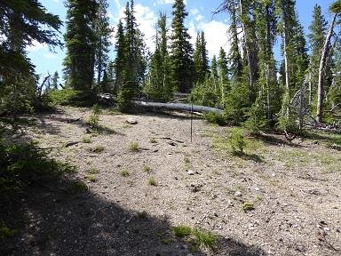
This report extends the location of known occupied habitat to the southwest, following the main ridgeline dividing North Fork Canyon and Trap Creeks. The elevation of observed plants is 8,200 to 8,400 feet. This is a ridgeline location with observed plants located just off the ridgeline into the North Fork Canyon Creek drainage. Aspects were generally northwest by west.
The plants were small and appeared to be newly emerged. No obvious signs of blossoms above ground. I did not dig around the plants to see whether they had blossoms that had not yet emerged above the soil surface.
I did not make any effort today to do an extensive survey, rather only documented LESA17 that I encountered on my hike along the trail and then a short distance along the ridge to the southwest.
Where
Location Precision:
±3 meters
Mapped full extent:
unsure
Region:
County:
Location:
Decimal Degrees: 44.2,-115.1
How
Who
Source Agency:
U.S. Forest Service
SA code (IDFG Reference Code):
Verification Status:
Trusted
Count:
85
Count Type:
Absolute


