Species Information
Observation Method(s):
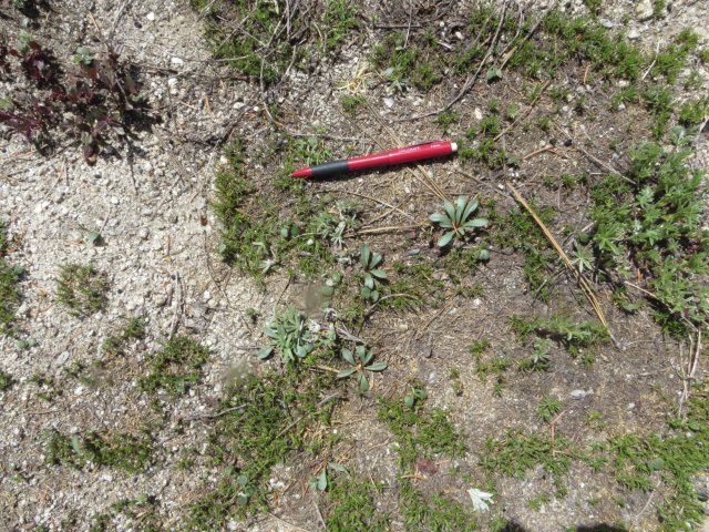
Individual(s) Observed (seen)
Photographed
Certainty of Identification:
80
When
Date Time:
Friday, June 3, 2016 (All day) to Friday, July 15, 2016 (All day)
Date/Time Precision:
±86 400 seconds
Survey
Survey Site:
Boise Ridge Road
Survey Intensity:
fairly thorough
Population
EO Number:
43
EO ID:
27859
Population Area:
3083 sq. feet (0.07 acre, or 0.03 hectare)
More potential habitat to survey:
unsure
Suggestions for other areas to survey:
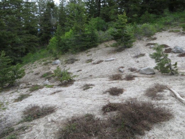
Between Bogus Basin ski area and Boise Peak, surveys were conducted in 2016 along the Forest Service road (#275) for the Clear Robie vegetation management project. This population of LESA was discovered during those surveys. While many potential sites along the road were examined in 2016, there is a possibility of additional populations along this general alignment. Due to heavy shrub growth, many areas could not be accessed in a timely way in 2016.
Monitoring or research needs for this population:
Additional surveys should be done along the road and along ridges extending from the Boise ridge above elevations of 5,700 feet.
Additional population comments:
To date, this is the only population to be found and while it is off a busy road, it is well hidden
Where
Location Precision:
±10 meters
Mapped full extent:
no
Region:
County:
Game Management Unit:
Location:
Decimal Degrees: 43.7,-116.0
How
Who
Source Agency:
U.S. Forest Service
SA code (IDFG Reference Code):
Verification Status:
Trusted
Count:
200
Count Type:
A Minimum


