Idaho Hunt Planner We got game.
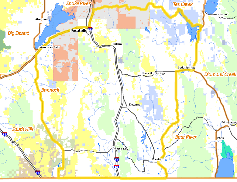
Bannock Zone
Units 70, 71, 72, 73, 73A, 74
More information about GMU(s) in Bannock Zone :
Public Access
Land Ownership
| Private |  56.13
%
56.13
%
|
| U.S. Bureau of Land Management (BLM) |
13.96
%
|
| Indian Reservation / Bureau of Indian Affairs |
11.25
%
|
| U.S. Forest Service (USFS) |
10.88
%
|
| State of Idaho |
6.33
%
|
| U.S. Department of Agriculture (USDA) |
0.87
%
|
| U.S. Department of Interior (DOI) |
0.38
%
|
| Other |
0.21
%
|
| U.S. Bureau of Reclamation (BOR) |
0
%
|
Make your own map of Bannock Zone
Ownership data source: Inside Idaho
Access Yes! Properties
National Forests
Federally-designated Wilderness Areas
There are no wilderness areas in Bannock Zone.
Land Use/Cover
No landcover for this area is available at this time.
Services
Lodging, Camping & Services in Bannock Zone
- Pocatello, Interstate 86 Interstate 15 US 91
- Preston, US 91 Idaho 36
- Soda Springs, US 30
- Malad City, Interstate 15
- Grace, Idaho 34
- Franklin, US 91
- Downey, US 91
- Lava Hot Springs, US 30
- Cambridge, US 95
* Services pages courtesy of the Official Idaho Travel and Tourism Guide