Popup Information Boxes
GETTING AROUND THE MAP: Popup Information Boxes
The best feature of the Fishing Planner Map Center is you can get Fishing Regulations and Stocking Information when you click on the 'Streams & Rivers' or 'Lakes' layers. (Once you have zoomed in and the layers are activated.)

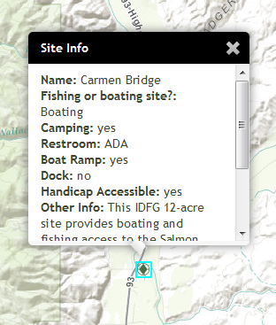
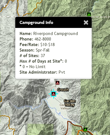
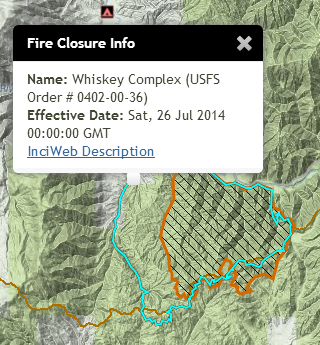
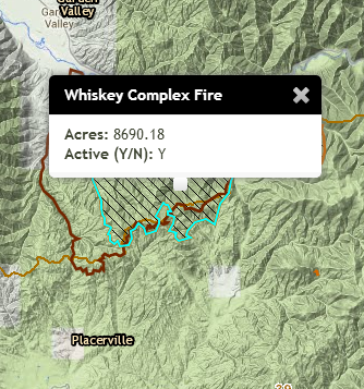
Currently, four other layers that have popup boxes enabled: fishing and boating access sites, campgrounds, fire emergency closure areas, and active fire perimeters (when fire layers are activated during the wildfire season). When these layers are turned on, a popup box will appear when you click a feature.
Fishing & Boating Access Sites Popup:

Campground Popup:

Fire Emergency Closure Area Popup:

 Click the 'inciWeb Description' link to get more information about the closure.
Active Fire Perimeter Popup:

Created with the Personal Edition of HelpNDoc: Full-featured Documentation generator